


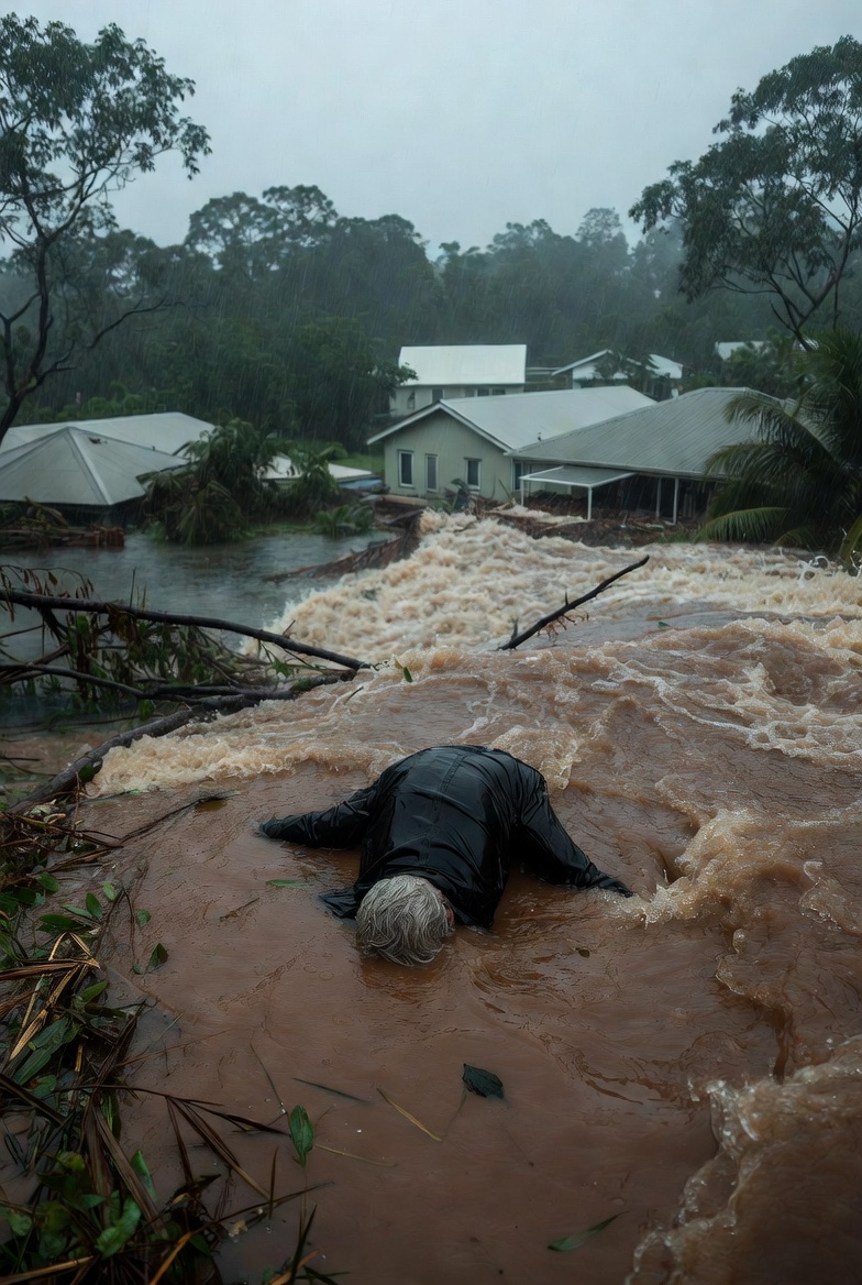
A 70-year-old man has tragically lost his life after his vehicle became submerged in floodwaters in the remote town of Normanton, in far north Queensland.
Police responded to reports of the incident on Gulf Development Road around 3pm on Tuesday, discovering the man deceased inside the car.
Authorities have ruled out suspicious circumstances, and a report will be prepared for the coroner. They reiterated warnings to motorists: never drive through flooded roads.
The fatality comes amid intense monsoonal rainfall, with some areas recording over 700mm in just two days, leading to widespread flooding, closed highways, isolated communities, and risks to livestock.
Western Australia Braces for Cyclone Hayley Impact
Meanwhile, on the opposite side of the continent, the Kimberley region in Western Australia is facing Severe Tropical Cyclone Hayley, which has made landfall as a category 3 system, bringing destructive winds and heavy rain.
The Department of Fire and Emergency Services (DFES) issued urgent alerts, stating: “There is a threat to lives and homes. You are in danger and need to act immediately.”
Residents were advised to shelter indoors, as it was too late to evacuate safely.
Hayley intensified to category 4 earlier but weakened slightly before crossing the coast near the Dampier Peninsula, north of Broome to Cape Leveque.
Warnings included abnormally high tides, very destructive gusts up to 170km/h in areas like Beagle Bay and Cape Leveque, and destructive winds reaching 150km/h.
People were urged to seek shelter in the strongest part of their building, away from doors and windows, and keep emergency kits ready.
The Bureau of Meteorology (BOM) highlighted severe impacts expected on the northern Dampier Peninsula.
Ongoing Heavy Rainfall Forecast for Queensland
In Queensland, the extreme weather is set to persist, with BOM meteorologist Miriam Bradbury warning of continued “heavy rainfall, potentially life-threatening flash flooding, and widespread riverine flooding” across the north.
Major roads remain closed, including sections of the Bruce and Flinders Highways.
Queensland Premier David Crisafulli expressed confidence in the state’s preparedness, stating during a Tuesday press conference that Queensland is “better prepared for a disaster season than at any time in history.”
Weather expert Marina Neuman described the system as a “landphoon” due to the widespread heavy falls, with ongoing intense rain expected into the new year.
Heaviest totals on Tuesday are forecast for Cairns and Townsville (80-120mm, isolated up to 180mm), while northwestern areas like the Gulf Country could see six-hourly falls of 60-110mm, with isolated 150mm and flash flooding risks.
Daily totals of 100-220mm remain possible in northeastern parts.
Multiple flood warnings are active, with major flooding on the Flinders River potentially approaching or exceeding 2019 records.
National Weather Snapshot for Tuesday
Elsewhere in Australia, conditions are mostly dry and sunny.
- Sydney: Mostly sunny with light afternoon winds, topping 25°C.
- Canberra: Hot and sunny, reaching 34°C.
- Melbourne (Victoria): Partly cloudy with a high of around 30°C and a slight chance of evening rain; extreme fire danger in the Northern Country.
- Adelaide: Mild with a maximum of 25°C.
- Hobart: Cloudy with a high likelihood of afternoon showers, topping 25°C.
- Darwin: Partly cloudy with possible evening thunderstorms, high of 33°C.
