


Forecast Accuracy in Focus as Southern NSW Hit by Torrential Rain
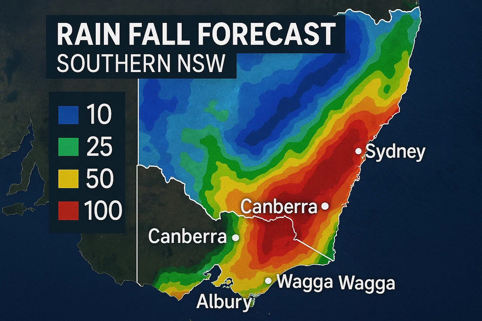
As wild weather swept across the New South Wales coast on Tuesday, Sydney was forecast to receive between 45mm and 120mm of rainfall, with heavier downpours expected further south. So, how accurate were the predictions? So far, they’ve held up well.
Forecasters expected strong coastal winds, heavy rain stretching from Sydney southward, and issued alerts for damaging surf and possible coastal erosion.
Heaviest Rainfall Confirmed South of Sydney
According to the Bureau of Meteorology’s data up to 9am Wednesday, the heaviest rainfall did occur in southern coastal areas. Sydney recorded 70mm — right in the middle of the forecasted range — while Wollongong’s suburb Bellambi received 90mm. South of Wollongong, rainfall totals ranged widely between 100mm and 200mm along the coastal strip.
Ulladulla stood out, recording 224mm — its highest July rainfall on record based on data dating back to 1899. Nowra recorded 157mm, its wettest July day in at least 25 years, with most of the rain falling within six hours before midnight. SES crews responded to thousands of calls, including multiple flood rescues.
Notable 24-Hour Rainfall Totals:
- Ulladulla: 224mm (July record)
- Nowra: 156mm (highest in 25+ years)
- Moruya Airport: 147mm (most in 78 years)
- Narooma: 140mm (record since 1910)
- Moss Vale: 140mm (most in 3 years)
- Fishermans Repeater: 201mm (no historical data)
These heavy rains were also accompanied by powerful winds, with gusts exceeding 100kph in many places, including:
- Wattamolla: 124kph
- Ulladulla: 104kph
- Penrith: 102kph
- Jervis Bay, Point Perpendicular, Wollongong, and Kiama: 91–102kph
Broad Forecast Ranges Reflect System Uncertainty
Despite accurate predictions, the wide forecast ranges (e.g., 60–150mm for Wollongong) signaled uncertainty in how the system would play out. Bureau meteorologist Dean Narramore explained that such variability is typical of east coast lows, wind shear zones, or coastal troughs — systems that can dump massive rainfall in one area and almost none just a few kilometres away.
Narramore highlighted the difference just outside Sydney: north of the city recorded just 20mm, while Ulladulla saw over 220mm.
Understanding Rainfall Forecasts
Rainfall predictions are often misunderstood. For example, Sydney’s Tuesday forecast of 45–125mm doesn’t suggest all outcomes, but rather shows the most likely range. Meteorologist Michael Barnes from Monash University explained that:
- The lower end (45mm) reflects a 75% chance of reaching at least that amount.
- The upper end (125mm) represents a 25% chance of reaching or exceeding it.
This probability range is based on various weather models and represents the cluster of most likely scenarios — not every possible one.
Why Rainfall Is Harder to Predict Than Temperature
Rain is more difficult to forecast than temperature because it’s influenced by small-scale changes in weather systems. Barnes noted that even over short distances — like a few city blocks — rainfall intensity can vary dramatically. These differences are especially pronounced in severe weather events, where small shifts in system placement or speed can cause major differences on the ground.
For instance, Berry on the NSW South Coast saw widespread flooding after receiving more than 200mm of rain in 24 hours.
Forecasts Go Beyond Just Rainfall
Rain is only one aspect of severe weather. For this event, the Bureau of Meteorology also issued strong warnings about high winds and large waves — hazards that remain active. Narramore said BOM works to communicate these nuances clearly in forecasts and public warnings.
