


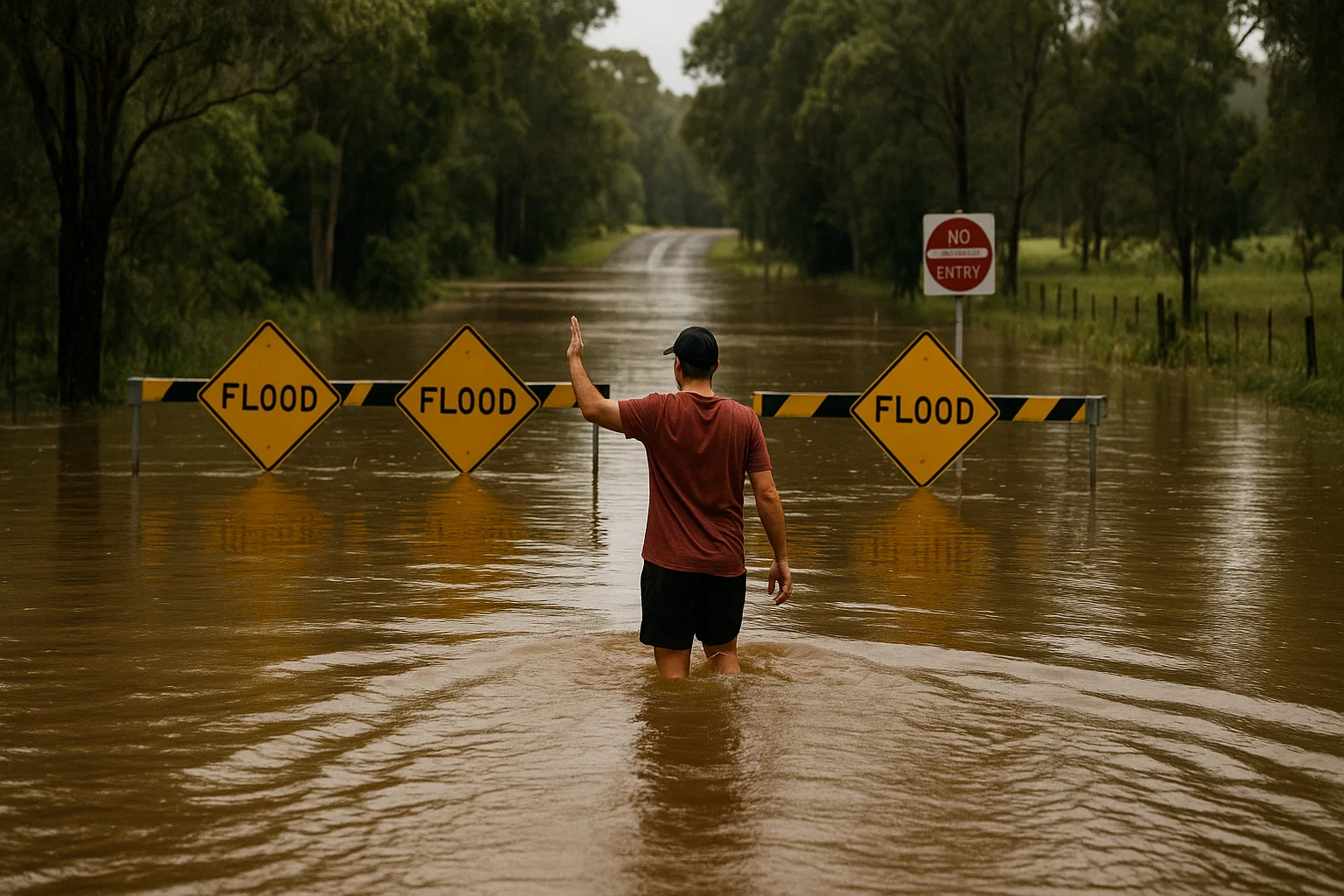
Residents on the Mid North Coast of New South Wales have been issued a strong warning after reports emerged of individuals entering flooded areas with heavy machinery to take photographs.
On Sunday, clear skies returned to Forster — a town more than three hours north of Sydney — following a deluge of 113mm of rain on Friday. The storm system affected large parts of northern NSW, resulting in extensive flooding and at least two deaths.
As conditions began to improve, MidCoast Council Mayor Claire Pontin cautioned locals to stay out of flood-affected zones due to reports of unsafe behaviour.
“We’re hearing that now the roads have reopened, people are driving around trying to see the damage,” she said. “While curiosity is understandable, we’re asking everyone to stay away — especially from areas with traffic control barriers.”
Mayor Pontin warned that some people were putting themselves in harm’s way by entering active worksites with heavy machinery, simply to take photos.
“There are residents and authorised workers who genuinely need to access those areas — but if you’re just looking around, please stay away. You’re risking your safety and slowing down critical work,” she added.
She highlighted Wingham Peninsula as a particular area of concern, where a narrow road is drawing too many spectators. Sightseers, she said, are making it difficult for equipment and personnel to get through and continue recovery efforts.
Meanwhile, a powerful cold front is approaching southeastern Australia, prompting weather warnings. The Bureau of Meteorology (BOM) has forecast strong winds, rain, and even snow as the system moves in from the Southern Ocean.
Meteorologist Jonathan How described it as the strongest cold front so far this year. It is expected to reach Adelaide by Sunday night, bringing 10–25mm of rain, thunderstorms, and gusty conditions. Rainfall will likely ease by midweek.
The BOM has issued gale and strong wind warnings for large parts of South Australia and Victoria. Winds exceeding 90km/h are forecast for NSW’s alpine regions and the Snowy Mountains. Conditions are predicted to settle temporarily on Sunday before intensifying again on Monday as the front sweeps across southeastern Australia.
Sydney will remain mostly sunny on Sunday, with rain expected to return midweek. Minimum temperatures could drop below 10°C in Adelaide and Melbourne by Tuesday, with potential snowfall in the alpine regions.
Dam Overflows
Heavy rainfall has also led to dam overflows in Greater Sydney. Warragamba Dam, which supplies most of Sydney’s water, reached full capacity on Saturday afternoon. WaterNSW reported slowing inflows as rain began to clear, but warned residents downstream to avoid floodplains and fast-moving water. Around 20 gigalitres of water was expected to spill on Sunday.
Over the past week, 78.7mm of rain fell across the Warragamba catchment. Several smaller dams — including Woronora, Nepean, Cataract, Avon, and Tallowa — are also spilling. Warragamba previously overflowed three times in 2023.
Flood Recovery Begins
The NSW State Emergency Service (SES) says the flood clean-up is now underway, with teams working to resupply isolated residents across the Mid North Coast and Hunter regions.
Acting Assistant Commissioner Allison Flaxman said an estimated 10,000 properties had been affected by the flooding.
“As water levels drop, our teams and partner agencies are starting to assess the damage,” she said, urging residents not to return to their homes until official inspections are completed.
Flaxman also confirmed the SES has responded to 200 resupply requests over the past two days, delivering food and medication to cut-off communities. Approximately 50,000 people are still impacted by isolation.
