


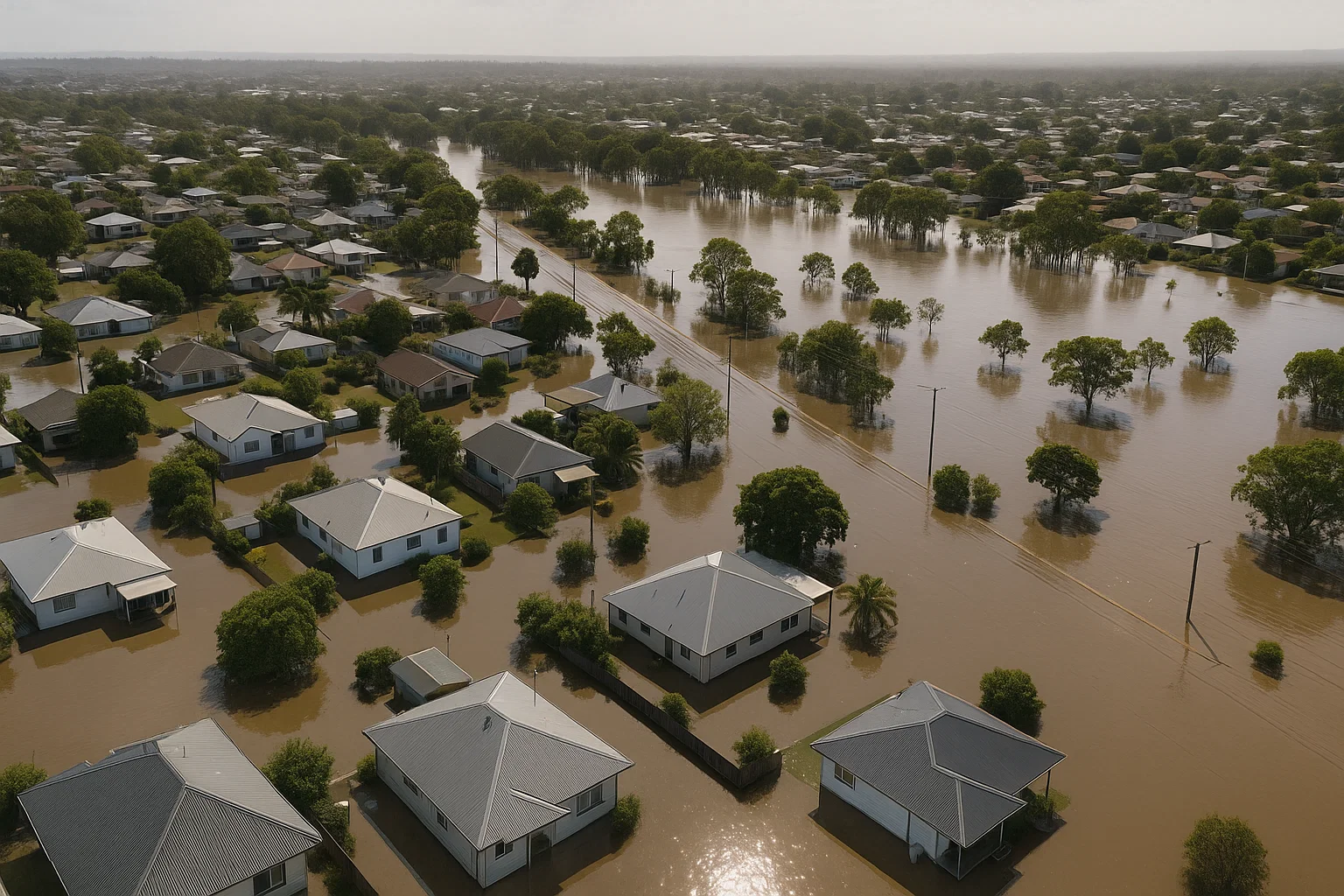
Just two months after Cyclone Alfred brought extensive flooding to New South Wales, the state is once again grappling with rising waters.
As of Thursday morning, 140 flood alerts were in effect across NSW, with 50,000 residents advised to prepare for possible evacuation.
Tragically, one man died in floodwaters in Moto, near Coopernook on the Mid North Coast, and Acting NSW Police Commissioner Peter Thurtell said there were “grave fears” for three others still missing.
Follow our live updates on the NSW floods
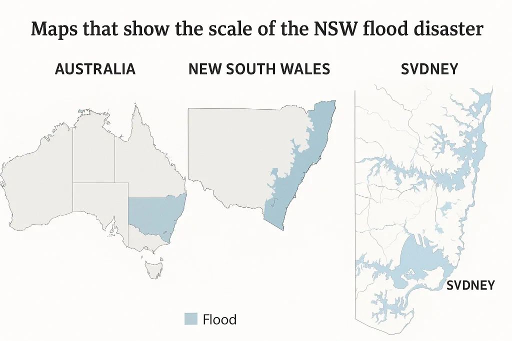
The scale of the flooding is illustrated in three maps, showing the hardest-hit regions.
Torrential Rain Targets Mid North Coast
Senior meteorologist Angus Hines from the Bureau of Meteorology (BOM) reported that the northern part of the state endured another extremely wet night.
“We’re entering yet another very wet day for the Mid North Coast and northern Hunter—areas that have been hit hardest during this prolonged rain event,” he said.
Some weather stations recorded up to 300mm of rainfall in the past 24 hours, adding to weekly totals of 500–600mm.
Thousands across NSW are under evacuation orders.
(ABC News: Claire Simmonds)
Meteorologist Tom Saunders from ABC News said the 329mm recorded at Moparrabah, west of Kempsey, marked the heaviest rainfall in at least 25 years for any month.
Bellingen, with 337mm, experienced its wettest May since 1977.
There is some good news ahead, with BOM predicting rainfall to ease from Thursday afternoon into Friday.
“The wettest areas in the state’s north-east are expected to experience the worst today, with conditions becoming significantly drier tomorrow,” Hines added.
Flood Zone Extends from Northern Rivers to Hunter Valley
Flood warnings stretch from Grafton in the Northern Rivers down to the Hunter Valley, affecting a large portion of the state.
State Emergency Service (SES) Commissioner Michael Wassing warned that even areas as far south as Sydney could be impacted.
Southern parts of Inverell and the area around Armidale are also affected, and the SES has issued warnings of potential minor flooding along the Warrego and Darling rivers in north-west NSW.
Evacuations Ordered in 20 Locations
As of 10am Thursday, the SES had issued 134 emergency warnings, which include directives such as “shelter now,” “move to higher ground,” and, in 20 areas, “evacuate now.”
The region surrounding Kempsey is under the greatest threat, with six “evacuate now” alerts in place.
NSW Premier Chris Minns urged the public to stay away from flooded areas and heed official advice.
“We need people to exercise common sense, listen to emergency broadcasts, and avoid taking unnecessary risks,” he said. “There are 140 flood warnings in place, and 50,000 people are within evacuation zones and could become isolated.”
He added that approximately 9,500 properties are located within the immediate flood-affected areas.
