


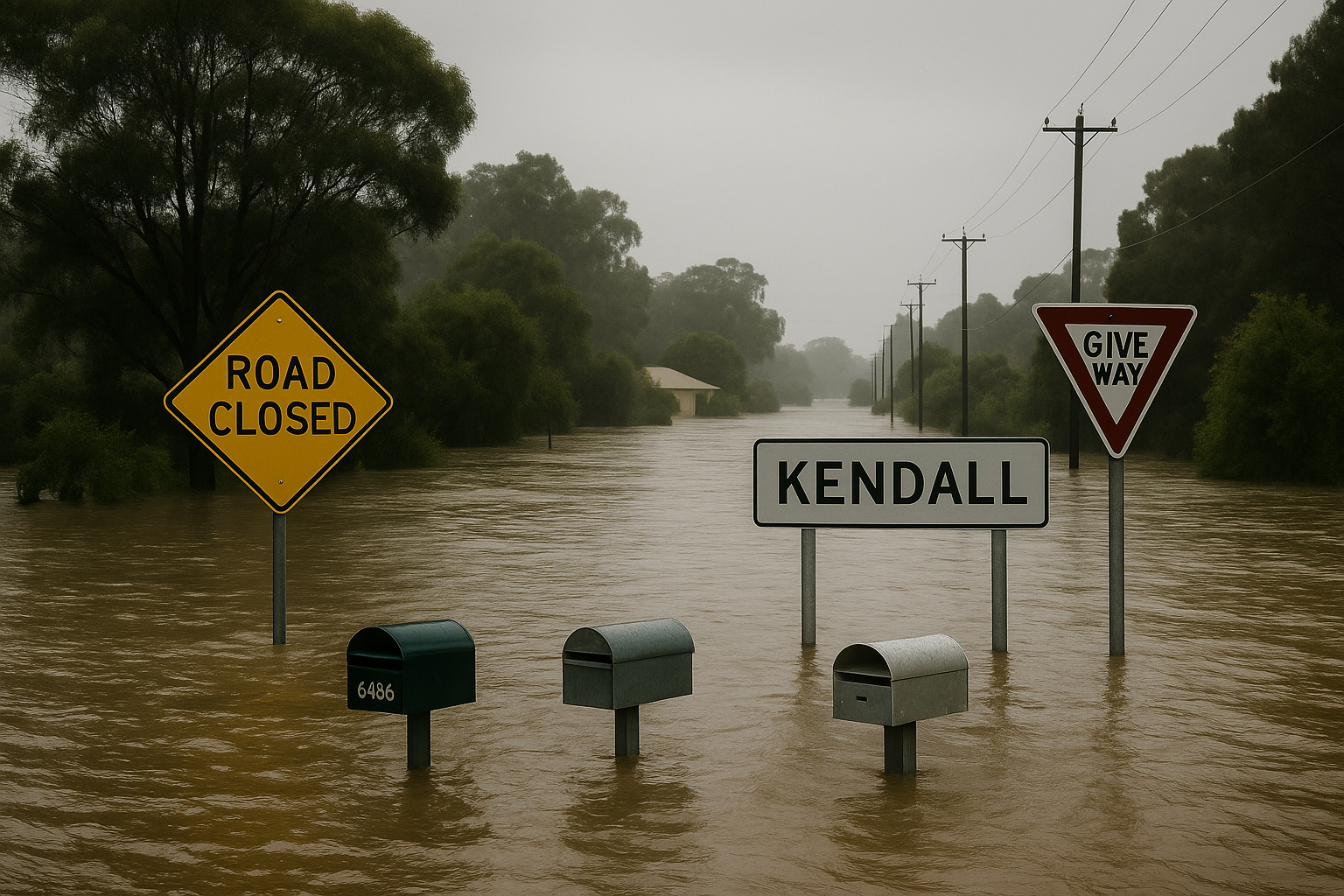
Record-breaking floods on NSW’s Mid North Coast have left residents stranded, prompted numerous rescues, and even washed cows onto beaches, after the Manning River in Taree peaked at levels exceeding a once-in-500-year event.
Floodwaters reached Saltwater National Park, where distressed cattle were found along the shoreline on Wednesday. Social media videos captured locals guiding the animals—believed to have been swept down Khappinghat Creek—off Wallabi Beach and into a safe paddock.
“We’re hoping to get them home soon—it was a great community effort,” local Kelly Brudar wrote online.
Up to 52 people in a rural area were reported trapped by rising floodwaters, as rescue crews dealt with the impact of torrential rainfall exceeding 280mm in some regions.
Hundreds of rescues have been carried out across the Mid North Coast and Hunter areas due to widespread rainfall, which has caused major flooding in the Paterson, Gloucester, Manning, and Hastings river systems.
At Taree, the Manning River peaked at 6.39 metres by late morning Wednesday—eclipsing its 1929 record of 5.97 metres. Weatherzone reported the chance of such an event occurring in any given year is less than 0.2 per cent.
About 16,000 people are expected to be cut off, with some seeking refuge on rooftops. SES spokesperson Andrew Edmunds confirmed 52 individuals were stranded in Glenthorne, and crews were preparing to assist them once conditions allowed.
“We’re focused on reaching those isolated communities as soon as it’s safe,” said Andrew Cribb, SES zone commander. He warned that residents should prepare for prolonged isolation as weather conditions worsen.
Rescue operations have been stretched, with SES Minister Jihad Dib revealing that 284 rescues occurred in the past 24 hours—including 150 since midnight. He said rain totals could reach up to 200mm again, especially along the Mid North Coast.
More than 1,600 SES volunteers, along with multi-agency flood rescue teams and two ADF helicopters, have been deployed. Many rescues involved vehicles driven into floodwaters, particularly along the Pacific Highway, where 24 people were rescued in one incident.
Since the start of the emergency, NSW SES has responded to nearly 900 incidents, including 130 flood rescues in hotspots like Taree, Wingham, and Glenthorne.
State Duty Commander Colin Malone said they’re doing all they can to reach those who missed evacuation warnings. However, extreme conditions are preventing access by land, water, or air in some locations.
A dramatic rescue effort overnight saved 24 people trapped on the flooded Pacific Highway at Ghini Ghini. Eleven emergency warnings remain active, advising evacuations and movement to higher ground.
Significant flood warnings are in place for numerous rivers and catchments, with some parts of eastern NSW receiving over 400mm of rain in just 48 hours, including:
- 449mm at Mooral Creek
- 436mm at Moppy Lookout
- 430mm at Mount Seaview
- 427mm at Careys Peak
- 425mm at Mount Barrington
- 412mm at Comboyne Public School
- 416mm at Taree Airport
Severe weather conditions are expected to persist, with six-hour rainfall totals between 100–150mm and daily totals potentially reaching 300mm in some inland elevated areas.
The Bureau of Meteorology warned the coastal trough near Coffs Harbour would shift slowly northward, leading to intense and possibly life-threatening flash floods across parts of the Mid North Coast and Northern Rivers.
Strong winds and hazardous surf conditions remain in effect for Coffs Coast, Macquarie Coast, and Hunter Coast. Authorities are urging residents to stay updated on weather alerts and road closures.
Key transport routes remain shut, including the Pacific Highway at Jones Island and the Oxley Highway at multiple points. Rail services are also affected, with buses replacing trains between Newcastle and Fassifern, and flooding halting Hunter Line services.
Sydney will continue to see heavy rainfall, with another 100mm expected. Hazardous surf conditions also threaten beach activities.
A break in the weather is anticipated by the weekend, as the system pushes south into Victoria and Tasmania. However, Victoria is forecast to experience sustained rain through next week, especially along its western coast and into Tasmania.
Melbourne will reach a mild 17°C after a frosty morning with widespread warnings. Tasmania’s inland areas are experiencing temperatures as low as -2°C, though Hobart is expected to hit 16°C under clear skies.
Elsewhere across the country:
- Canberra and Adelaide may see showers with highs around 18°C
- Brisbane will be mostly sunny and 26°C
- Darwin remains hot and sunny at 31°C
- Perth will reach 25°C, with moderate fire danger ratings in the Swan Coastal Plain
