


Just two months after Cyclone Alfred brought extensive flooding to New South Wales, the state is again facing severe flood conditions.
As of Thursday morning, there were 140 flood warnings in place across NSW, with around 50,000 residents advised to prepare for evacuation.
A man in his 60s drowned in floodwaters at Moto, near Coopernook on the Mid North Coast. Later that afternoon, police confirmed the discovery of another man’s body, aged in his 30s, in floodwaters in the same region. Acting NSW Police Commissioner Peter Thurtell said authorities remain deeply concerned for two other missing individuals.
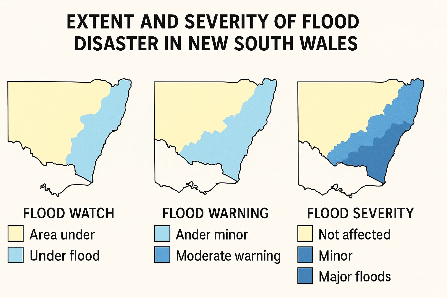
Three maps highlight the widespread impact of the ongoing flood emergency:
1. Heavy Rainfall Concentrated on the Mid North Coast
Bureau of Meteorology (BOM) Senior Meteorologist Angus Hines reported extremely high rainfall totals overnight in northern NSW. The Mid North Coast and northern Hunter regions have been especially affected, with some areas receiving up to 300mm in just 24 hours and weekly totals ranging from 500 to 600mm.
ABC meteorologist Tom Saunders noted that the 329mm recorded at Moparrabah was the heaviest for any month in at least 25 years. Bellingen’s 337mm marked its highest May rainfall since 1977.
The BOM forecasts a reduction in rainfall by Thursday afternoon, with significantly drier weather expected on Friday.
2. Flooding from Northern Rivers to the Hunter Valley
Flood warnings stretch from Grafton in the Northern Rivers region down to the Hunter Valley.
SES Commissioner Michael Wassing warned the threat may extend further south, potentially reaching Sydney.
Flood-affected areas also include parts of Inverell and Armidale, while minor flooding is possible along the Warrego and Darling rivers in the state’s northwest.
3. Evacuation Orders Across 20 Locations
As of 10am Thursday, the SES had issued 134 emergency warnings, including “shelter now,” “move to higher ground,” and 20 areas under “evacuate now” directives.
The Kempsey region faces the greatest immediate threat, with six active evacuation warnings.
Premier Chris Minns urged the public to avoid flooded roads and follow emergency instructions. He emphasized the severity of the situation, noting 140 flood warnings are in effect and 50,000 people may face isolation.
Minns also stated that approximately 9,500 properties are located within the immediate flood-affected zones.
